
Business Insider
Hazardous ‘forever chemicals’ are in our water, food, and air. Here are 6 simple ways to reduce exposure at home.
Morgan McFall-Johnsen – September 17, 2022

- Hazardous “forever chemicals” called PFAS are contaminating drinking water, food, and air.
- It may be impossible to completely avoid PFAS, but there are a few simple ways to reduce your exposure.
- Eating at home, ditching nonstick pans and unnecessary carpets, and filtering your water can help.
Hazardous, long-lasting “forever chemicals” are all over the news lately, and they’re all over our day-to-day environments too.
Per- and polyfluoroalkyl substances, or PFAS, is a class of thousands of man-made substances that are common in everyday objects, but research is making it increasingly clear that they may be harmful to human health. Peer-reviewed studies have linked them to some cancers, decreased fertility, thyroid disease, and developmental delays.
That’s bad news since PFAS last for decades without breaking down, earning them the “forever chemicals” nickname. Researchers have found them in drinking water and household dust across the planet, in the oceans, at both poles, and drifting through the atmosphere.
In a paper published last month, leading researchers at the University of Stockholm concluded that all the planet’s rainwater, and probably all of its soil, are contaminated with unsafe levels of PFAS. Ian Cousins, who spearheaded that research, fears it’s impossible to avoid the chemicals.
“I don’t bother,” Cousins told Insider, adding, “It’s almost mission impossible. You can’t really do it.”
Even if you can’t completely dodge PFAS, there are a few easy ways to reduce exposure in your daily life.
Eat at home, with minimal grease-resistant packaging

PFAS were developed in the 1940s to resist heat, grease, stains, and water. That means they’ve ended up in a lot of food packaging. That includes pizza boxes, microwave popcorn bags, some wrappers, and grease-resistant paper.
Restaurants and fast-food chains may use such packaging more than grocery stores do. A 2019 study found that people had lower PFAS levels in their blood after eating at home, and higher levels after eating fast food or at restaurants.
Throw out scratched nonstick pans

The coating used in nonstick cookware usually contains PFAS, and they can easily leach into your food at high heat and once the coating gets scratched.
The Washington Department of Ecology advises against heating nonstick cookware above 400 degrees Fahrenheit, and recommends throwing it out once the nonstick coating scratches. Cast-iron pans are a safe alternative.
Ditch your carpet and stain-resistant fabrics
Other household items like carpeting, water-resistant clothing, and stain-resistant treatments for fabrics can also contain PFAS. Researchers don’t think the chemicals can easily absorb into your body through your skin, but those fabrics shed fibers that can travel through the house as dust, eventually getting ingested or inhaled.
Vacuum, dust, and open the windows

PFAS accumulate in dust, which lingers in the air and allows humans to breathe the chemicals into their lungs. By dusting and vacuuming regularly, along with opening windows to allow for airflow and ventilation, you can keep dust levels low in your home and reduce the amount of PFAS you inhale.
Test and maybe treat your drinking water
You can test your water for PFAS through a laboratory certified by your state. If the water exceeds guidelines, you may want to consider doing something about it, especially if you have children.

Even at very low levels, exposure to two of the most common PFAS — called PFOA and PFOS — has been linked to decreased vaccine response in children. That research prompted the US Environmental Protection Agency to revise its drinking-water guidelines, decreasing the safe levels of those substances by a factor of 17,000. In August, the agency issued a proposal to classify those two PFAS as hazardous substances.
A few types of water filters can diminish PFAS levels, though they may not completely remove the chemicals from the water. State environmental departments recommend filtration systems that use reverse osmosis for tap water. They also recommend filter systems that use granular activated carbon (aka charcoal), which can be installed on faucets house-wide or used in a tabletop pitcher, but a 2020 study found mixed results from those systems.
If you get your drinking water from a well, the EPA recommends testing it regularly and contacting your state environmental or health agency for certified labs and safety standards.
Check before you buy cosmetics

Last year, a group of researchers published the results of testing 231 cosmetic products in the US and Canada for PFAS. More than half the products contained indicators of the chemicals.
The Environmental Working Group (EWG) has a public, searchable database of cosmetics and personal-care products, highlighting ingredients with potential risks to human health, such as PFAS like Teflon. They also maintain a map where you can check if you live near a PFAS contamination site.
The Green Science Policy Institute also keeps a list of PFAS-free products, including a guide to cosmetics.
Ultimately, Cousins said, people don’t need to be “super worried” about low-level exposure, since there’s no strong evidence of major health impacts across the population. Still, reducing PFAS use in consumer products could keep the problem from getting worse in the future.
“I think we should use this to get a bit angry about what’s happened and try and make change, so that we don’t keep doing this,” Cousins said. “Maybe we have to use [PFAS] in some cases, but only when they’re absolutely essential. And then we should also try to innovate, to try and replace them in the longer term.”


 Scroll back up to restore default view.


 Scroll back up to restore default view.


 Farmer Larry Cox walks in a field of Bermudagrass with his dog, Brodie, at his farm Monday, Aug. 15, 2022, near Brawley, Calif. The Cox family has been farming in California’s Imperial Valley for generations. (AP Photo/Gregory Bull)
 Water flows along the All-American Canal Saturday, Aug. 13, 2022, near Winterhaven, Calif. The canal conveys water from the Colorado River into the Imperial Valley. (AP Photo/Gregory Bull)
 Irrigator Raul Quirarte, 56, pauses during work to prepare a field to receive water from the All-American Canal, Sunday, Aug. 14, 2022, near Brawley, Calif. Quirarte started as an irrigator at the age of 18, taught by his father, who also was an irrigator. (AP Photo/Gregory Bull)
 Water flows along the All-American Canal Saturday, Aug. 13, 2022, near Winterhaven, Calif. The canal conveys water from the Colorado River into the Imperial Valley. (AP Photo/Gregory Bull)
 Farmer Larry Cox watches a tractor at work on a field at his farm Monday, Aug. 15, 2022, near Brawley, Calif. The Cox family has been farming in California’s Imperial Valley for generations. (AP Photo/Gregory Bull)
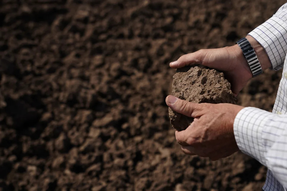 Farmer Larry Cox looks at soil on a field at his farm Monday, Aug. 15, 2022, near Brawley, Calif. The Cox family has been farming in California’s Imperial Valley for generations. (AP Photo/Gregory Bull)
 Farmer Larry Cox walks stands in a field of Bermudagrass at his farm Monday, Aug. 15, 2022, near Brawley, Calif. The Cox family has been farming in California’s Imperial Valley for generations. (AP Photo/Gregory Bull)
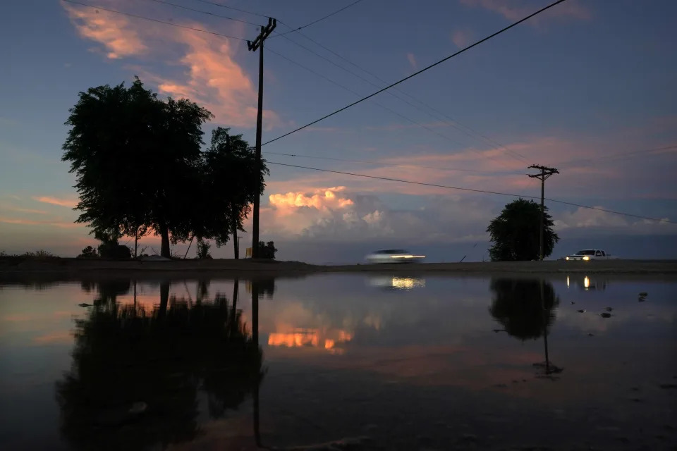 Colorado River Compact California. A small pond sits between a field irrigated with water from the All-American Canal and a highway, Sunday, Aug. 14, 2022, near Brawley, Calif. The canal conveys water from the Colorado River into the Imperial Valley. (AP Photo/Gregory Bull)
 Farmer Larry Cox walks to his truck as his dog, Brodie, soaks in a water canal at his farm Monday, Aug. 15, 2022, near Brawley, Calif. The Cox family has been farming in California’s Imperial Valley for generations. (AP Photo/Gregory Bull)
 A worker diverts water as a sprinkler system is installed for alfalfa at the Cox family farm Monday, Aug. 15, 2022, near Brawley, Calif. The Cox family has been farming in California’s Imperial Valley for generations. (AP Photo/Gregory Bull)
 Water from the All-American Canal flows in a canal alongside fields Saturday, Aug. 13, 2022, near El Centro, Calif. The canal conveys water from the Colorado River into the Imperial Valley. (AP Photo/Gregory Bull)