
USA Today
1 million Florida buildings will be overrun by sea-level rise by 2100, study shows
Jim Waymer, USA TODAY NETWORK – July 5, 2023
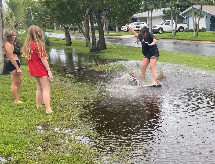
Storms that ride in on seas rising due to global warming will displace millions of Floridians in low-lying areas by century’s end, according to a new analysis by a flood-risk research group.
Well before then, a higher ocean will force many to elevate their homes, similar to stilted homes on North Carolina’s Outer Banks, or else endure deadly surging floodwaters and sky-high insurance costs.
The lure of living beachside has long been Florida’s biggest draw. But with sea levels expected to rise one foot by 2030 and another three feet by the end of the century, many dream homes could become nightmares.
“If nobody acts, if nothing changes, by the end of the century there are approximately 1 million buildings that will be inundated in Florida,” said Adrian Santiago Tate, CEO/cofounder of HighTide Intelligence, a flood-risk data company that spun out of a research group at Stanford University. About 90% of those buildings are single-family homes. “We wanted to make this abstract idea of flooding mean something to people.”
Don’t believe it? Search your address on HighTide Intelligence’s platform Arkly.com and see for yourself. The site’s a work in progress, so not every home is there but if your home is, and at low elevation, it likely will pop up as at “high-risk” of flooding and property damages.

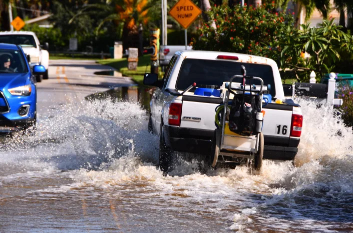
Floridians already are feeling the pain. After last year’s hurricane season, Florida homeowners watched their premiums double or triple or got letters cancelling their policies. More than a dozen insurance companies either went belly up or just bailed on Florida altogether.
Satellite Beach and other coastal cities for years have been warning residents in the most vulnerable spots to start planning countermeasures now. To bring concrete data to those warnings, Satellite Beach hired HighTide Intelligence to do a $295,000, three-year study to assess flood risk from rising seas. The analysis was paid for in part by a $275,000 grant the city received from the Florida Department of Environmental Protection (DEP) to study ways to make the city more resilient to flooding and sea-level rise. The city chipped in $20,000.
Sparked in part by the Satellite Beach project, HighTide decided to make its statewide dataset of building-level flood risk available to the public in a new user-friendly website, Arkly.com.
Insurers and risk managers use the term “hundred-year storms” when assessing flooding risk. Such storms have about a 1% chance of striking in any given year based on historical data.
But don’t think such storms only roll around every 100 years. With global warming, such storms are striking with increasing frequency.
Statewide, HighTide found that within Florida’s 35 coastal counties, a once-in-a-century storm would:
- Flood at least 1.28 million buildings, with potential for $261 billion in losses (2020 dollars).
- By 2030, as the sea levels rise, it’s 1.3 million buildings and $270 billion.
- By 2050, it’s 1.6 million buildings and $321 billion in losses.
- Then by 2100, it’s 2.4 million buildings and whopping $624.5 billion in losses.
“Satellite Beach gets some credit for this,” Santiago Tate, CEO/cofounder of HighTide Intelligence, said of the city’s proactive stance on planning for sea-level rise. “They really wanted us to focus on the element of communicating risk.”
And for thousands in this small city of just 11,200 residents, that risk is mounting. Unless the city prepares, rising seas and powerful storms will put 2,200 households in Satellite Beach — half the city’s total — at risk and could inflict $142 million in flood damages to buildings by 2050, according to HighTide’s study.
Local governments can get insurance discounts for residents from Federal Emergency Management Agency’s National Flood Insurance Program (NFIP) by conducting floodplain management activities that qualify for points in what’s called the Community Rating System (CRS). Part of Satellite Beach’s effort is to improve the city’s rating.
Most of the vulnerable homes and infrastructure are on the city’s west side, along the low-lying banks of the Indian River Lagoon.
Don’t care about climate change?: Insurance rates might force you to.
How fast is sea level rising?
On average, sea levels rose about 6 to 8 inches worldwide over the past century, according to the National Oceanic and Atmospheric Administration. But the rate of rise has more than doubled since 2006.
Researchers at the University of Central Florida found sea level rise is accelerating in other parts of Florida such as Key West and Fernandina Beach. A study in Nature this past April on sea level rise along the Southeastern U.S. and Gulf of Mexico coasts echoed those findings.
Sea levels along the southeastern and Gulf Coasts already are rising faster than climate models predicted, the UCF researchers note, causing coastal erosion, high-tide flooding, saltwater contamination of freshwater aquifers and higher storm surges in Florida.
Hurricanes exacerbate the problem. Even a Category 1 storm could inundate more than 40% of Satellite Beach, according to a 2010 study for the city by Florida International University, and as sea level rises, it’s only going to get worse.
Governments usually opt for large-scale infrastructure projects to prevent flooding, such as levees, the Satellite Beach report notes. Those aren’t always best, though, because costs exceed benefits and can take decades for Congress to appropriate funds.
Meanwhile, property owners are left susceptible to storm flooding.
HighTide’s study builds on two previous flood studies of Satellite Beach, including the one by Florida International University. At the time, the researchers in that study anticipated the tipping point toward “catastrophic inundation” — a 2-foot sea-level rise — in just 40 years for Satellite Beach. Now that’s less than 30 years away.
Rotting seaweed, dead fish, no sand: Climate change threatens to ruin US beaches
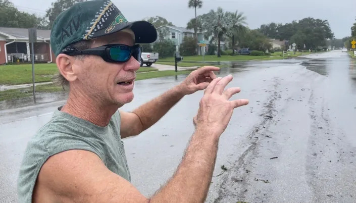
“I don’t really know how you get ahead on this,” said Randy Parkinson, the coastal geologist at Florida International University who coauthored the 2010 study.https://flo.uri.sh/story/1950403/embed
Complacency about flood risk jumped out at him during a recent drive down State Road A1A in south Brevard and into Indian River County, where the barrier island thins to just a few hundred feet wide.
“I couldn’t believe the number of new single-family homes still going in,” Parkinson said. “The real wakeup call is sadly when we get a Cat. 4 or Cat. 5 and it’s moving slow.”
Time will tell how many structures Satellite Beach and other Florida coastal cities will have to move to higher ground or elevate.
“It really depends on the timescale,” Santiago Tate said. “There’s only so much you can do to hold back Mother Nature.”
Contact Environment reporter Jim Waymer at jwaymer@floridatoday.com.